

One map for every platform, even offline.
Every platform on Nexus draws on the same map: berths, sites, territories, incidents, assets. Map packs work with no internet, layers follow each unit’s permissions, and imagery models read what drones and satellites see.
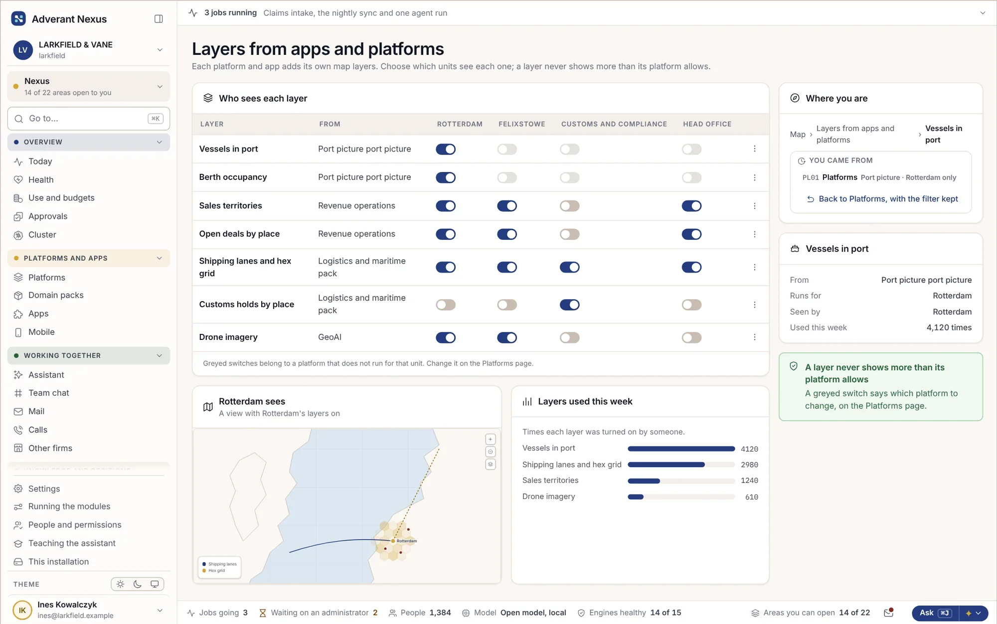
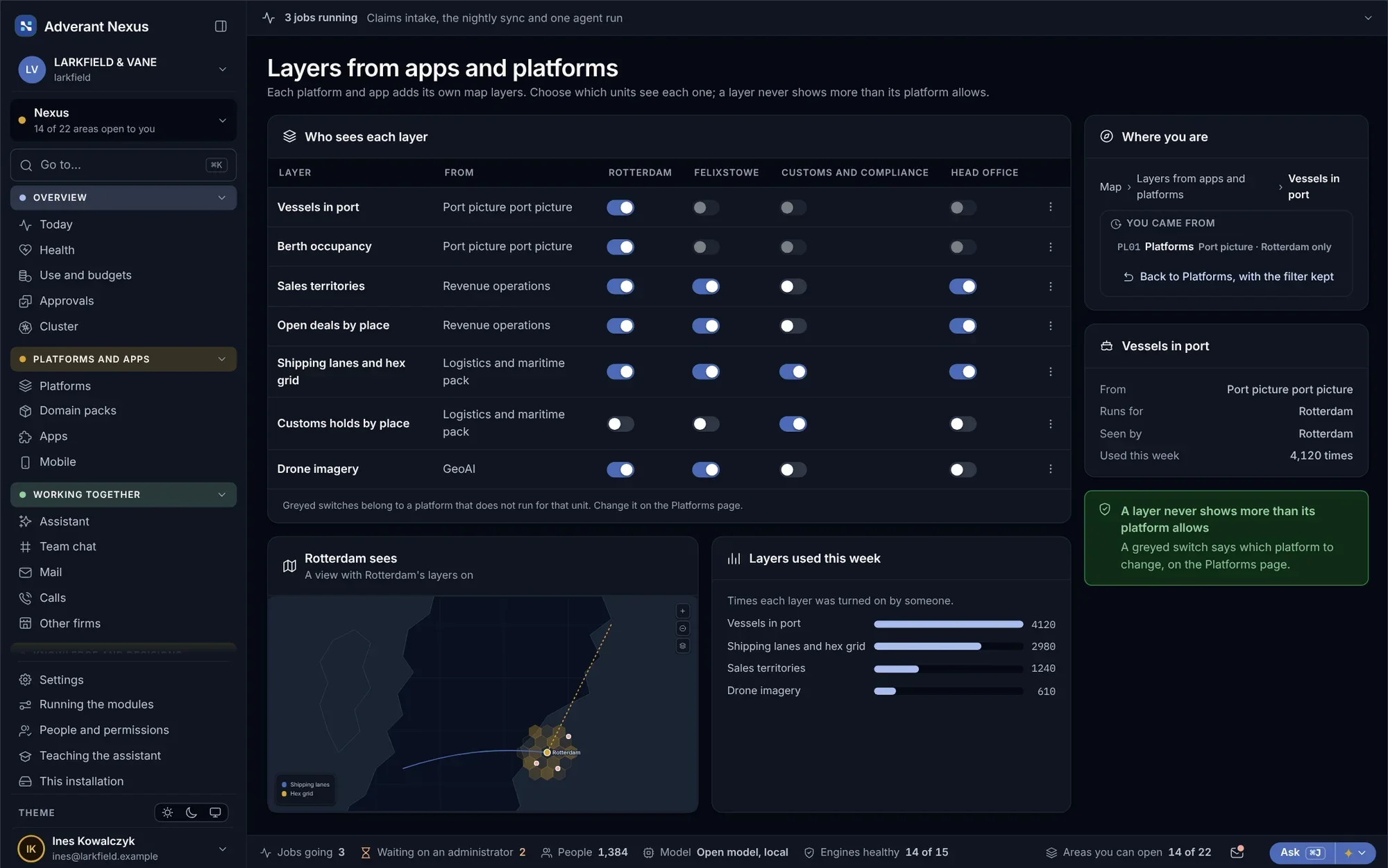
One map, wherever you work.
These screens come from HONESTAS, our insurance platform, which runs on Nexus. Every platform built on Nexus gets the same tools, in its own words.
Everything on one map
- Layers from every part of the firm
- Picks up where you left it
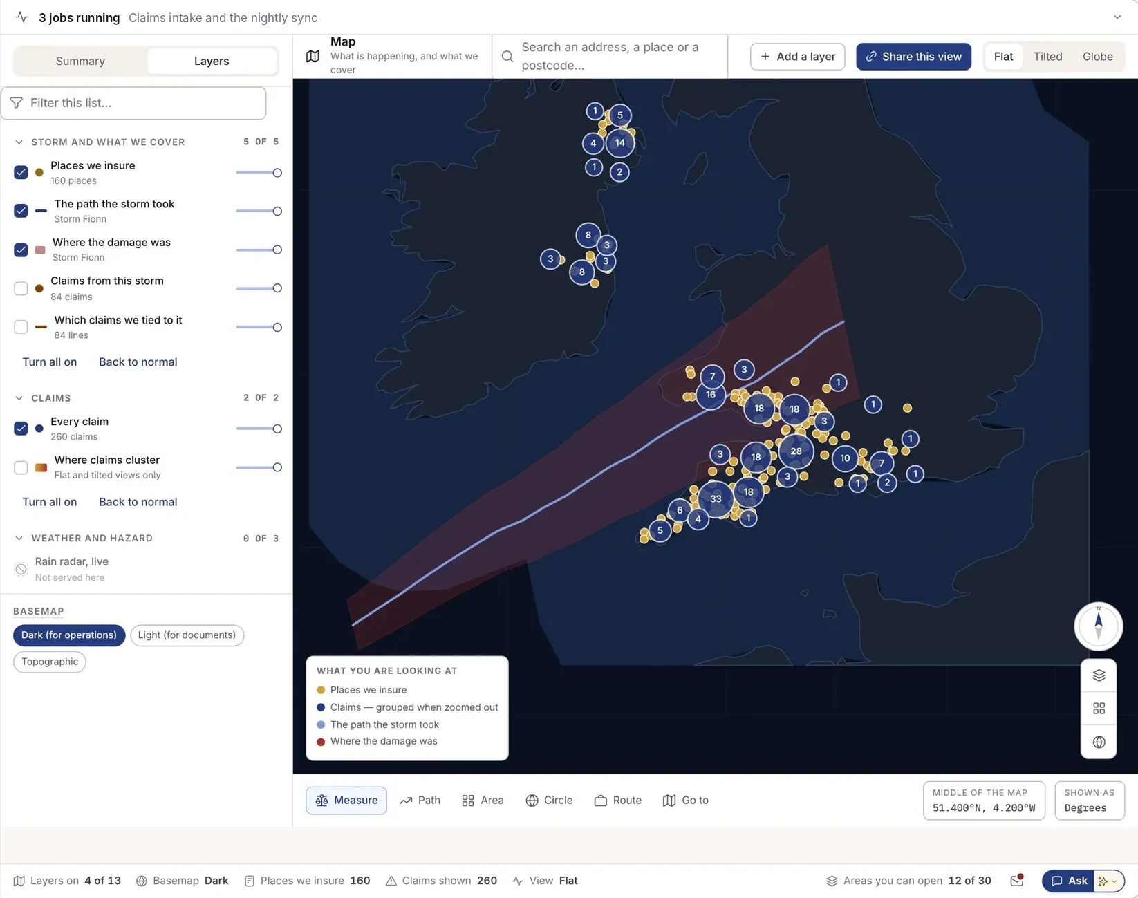
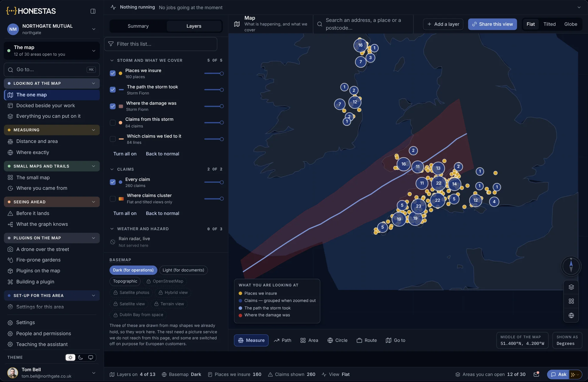
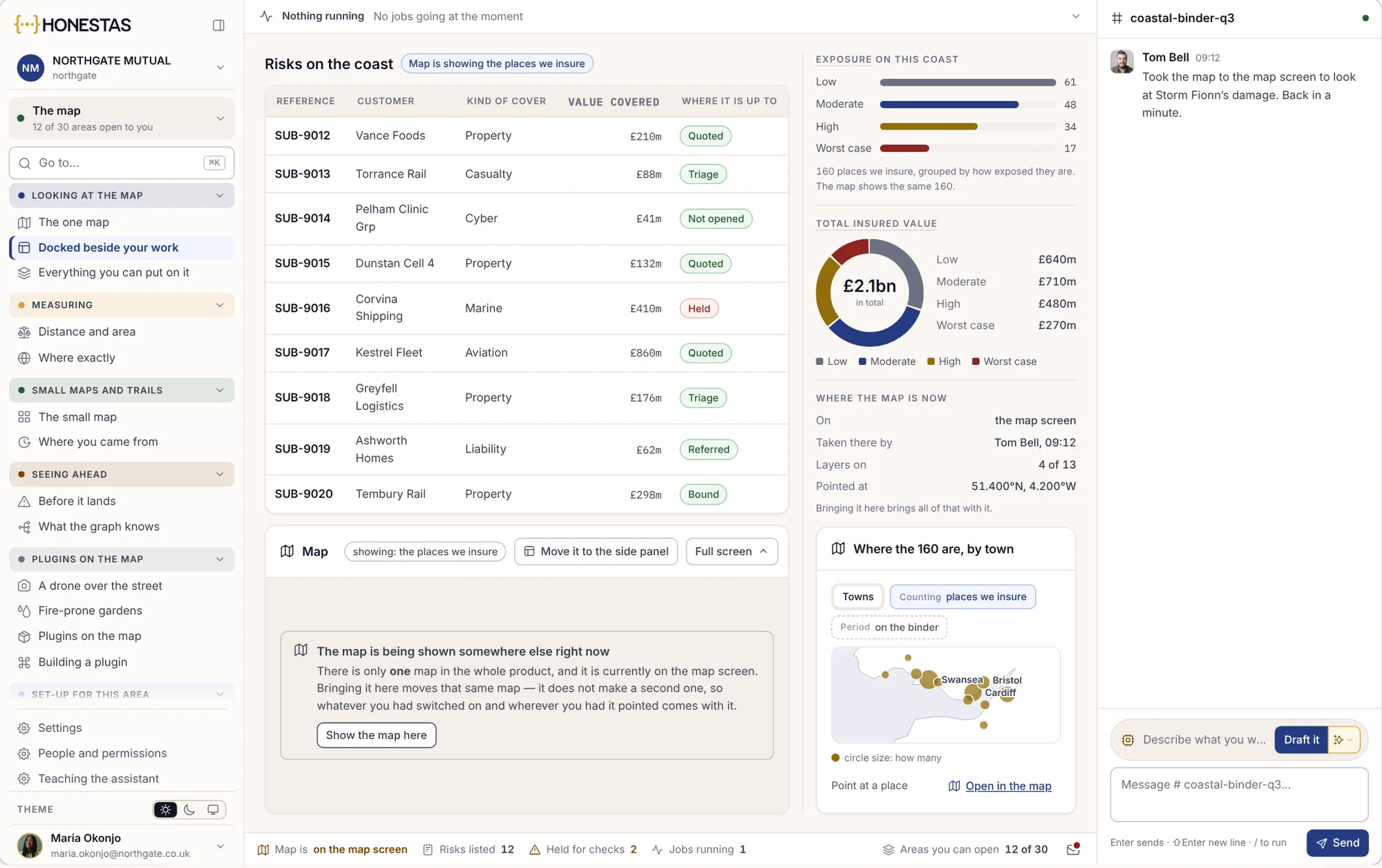
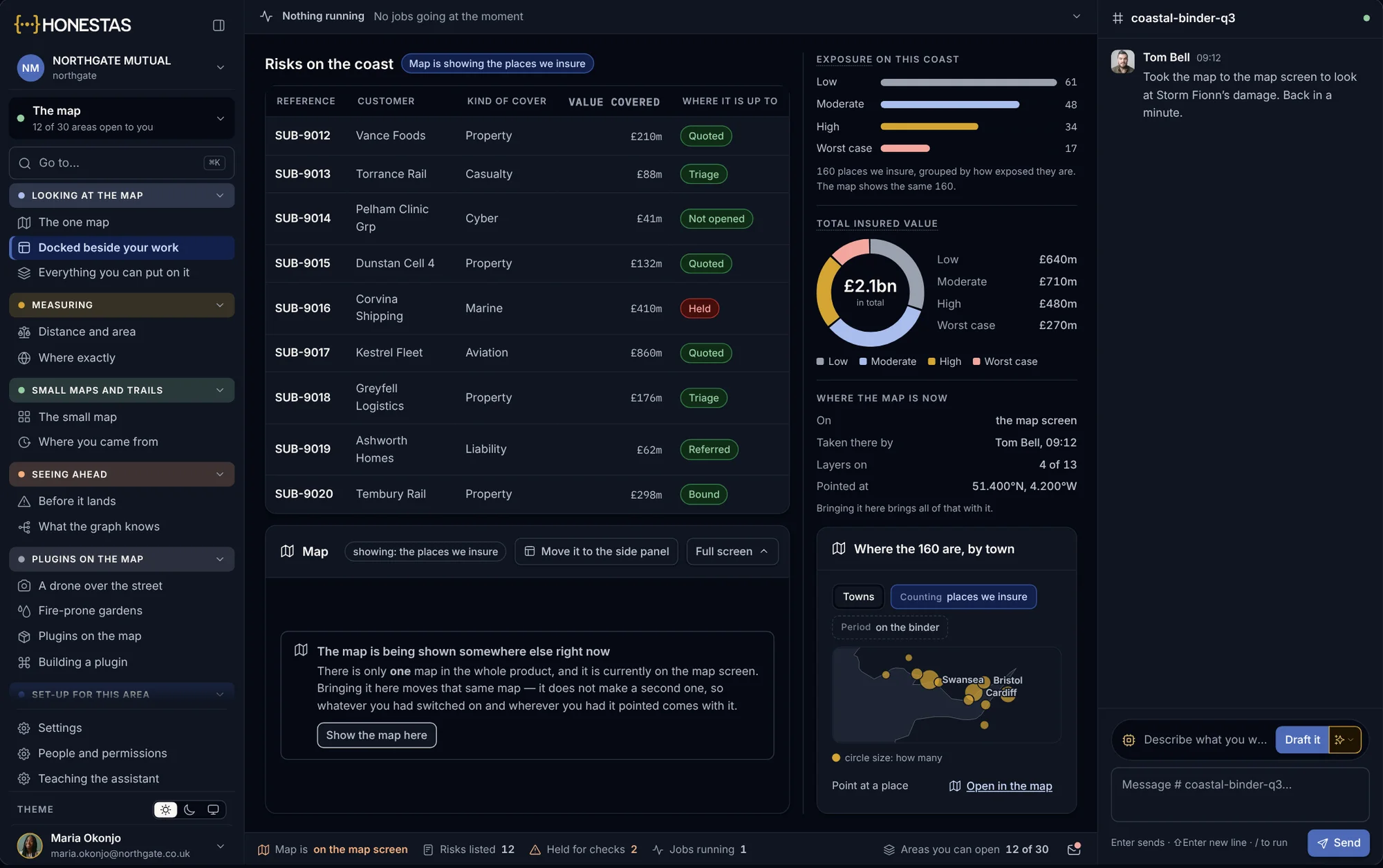
The map beside the list
- Docked, not a new window
- The list and map stay in step
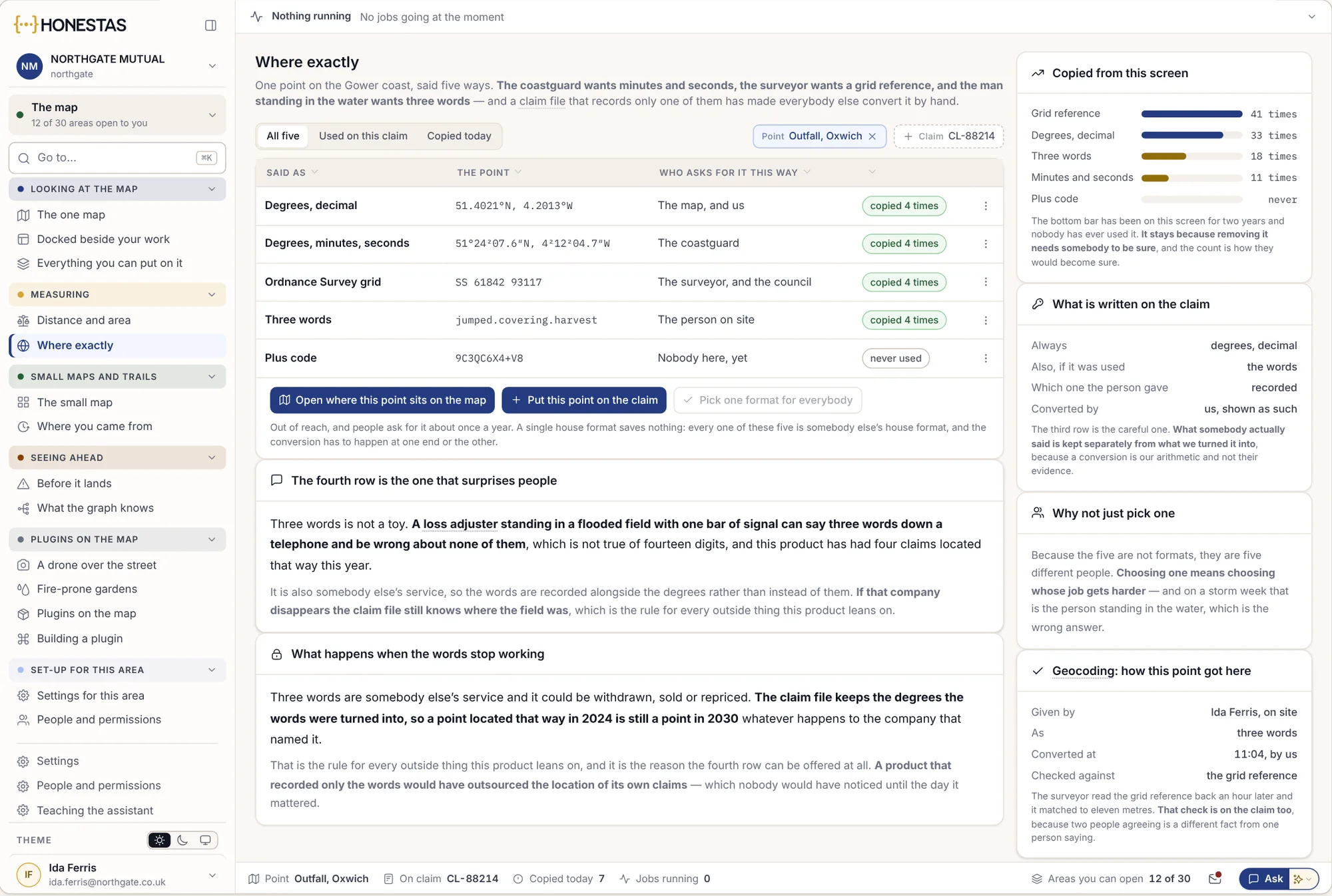
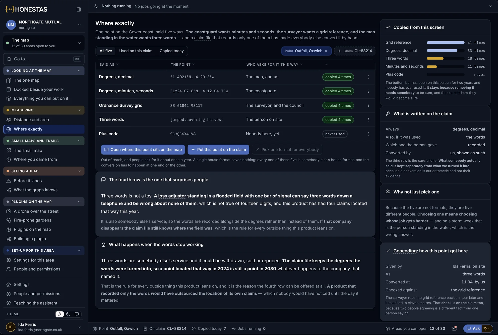
One point, five ways
A loss adjuster on site gives one point in the forms each reader needs: address, grid, coordinates and more.
- Every format from one point
- Copied in one tap
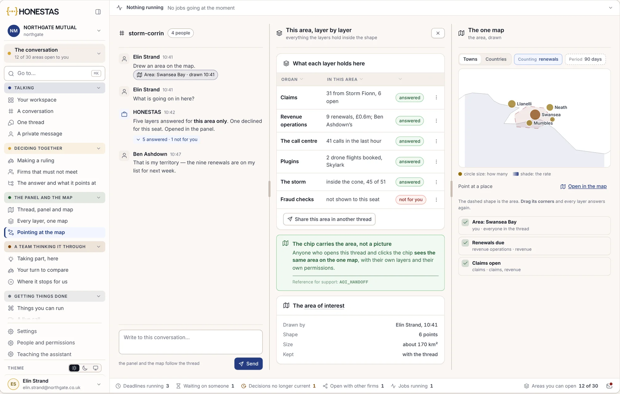
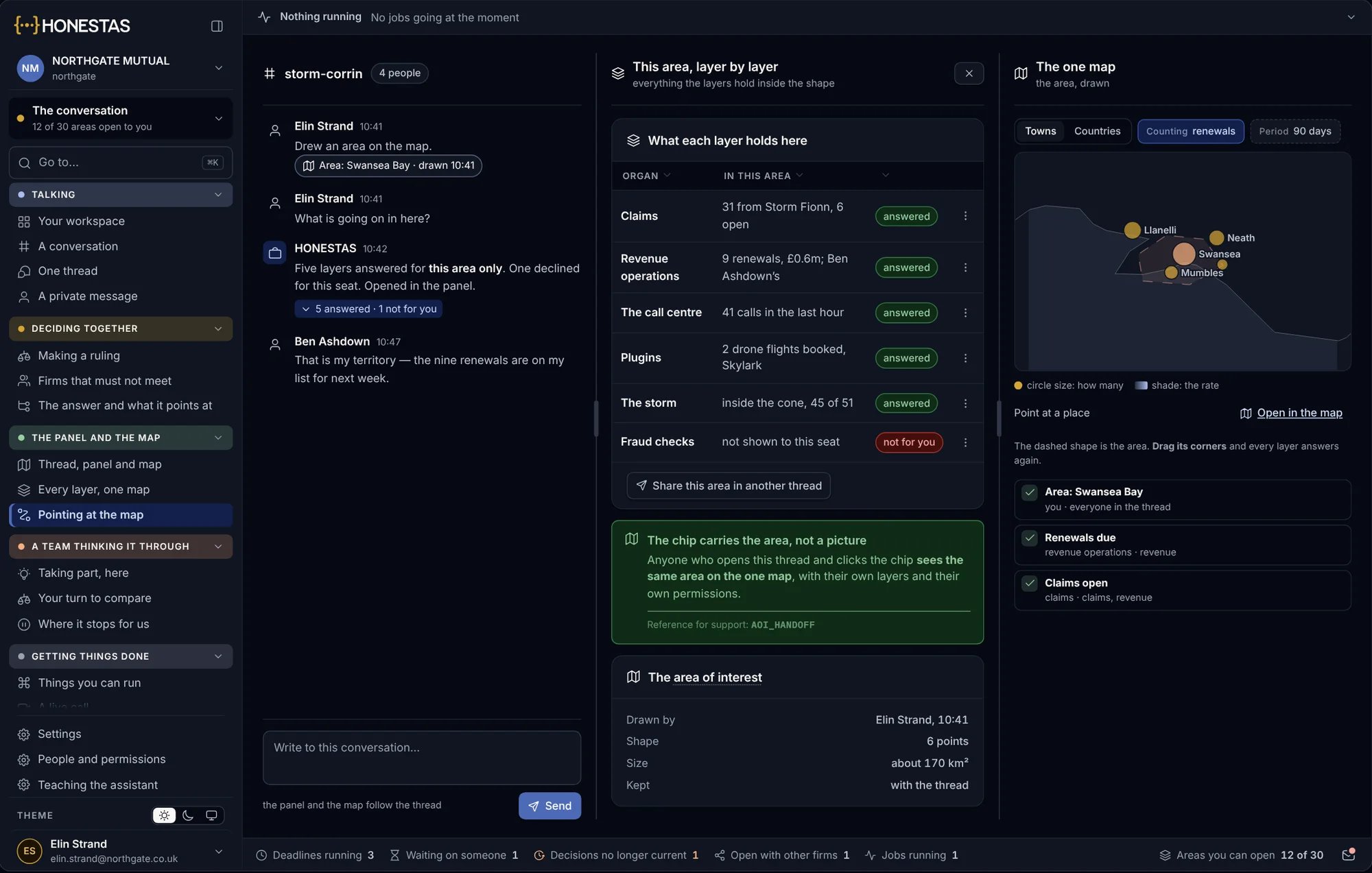
Point at the map from a chat
Draw an area in the conversation and ask about it. Everyone sees the same shape.
- Draw, then ask
- Shared in the thread
Maps that work where the internet does not.
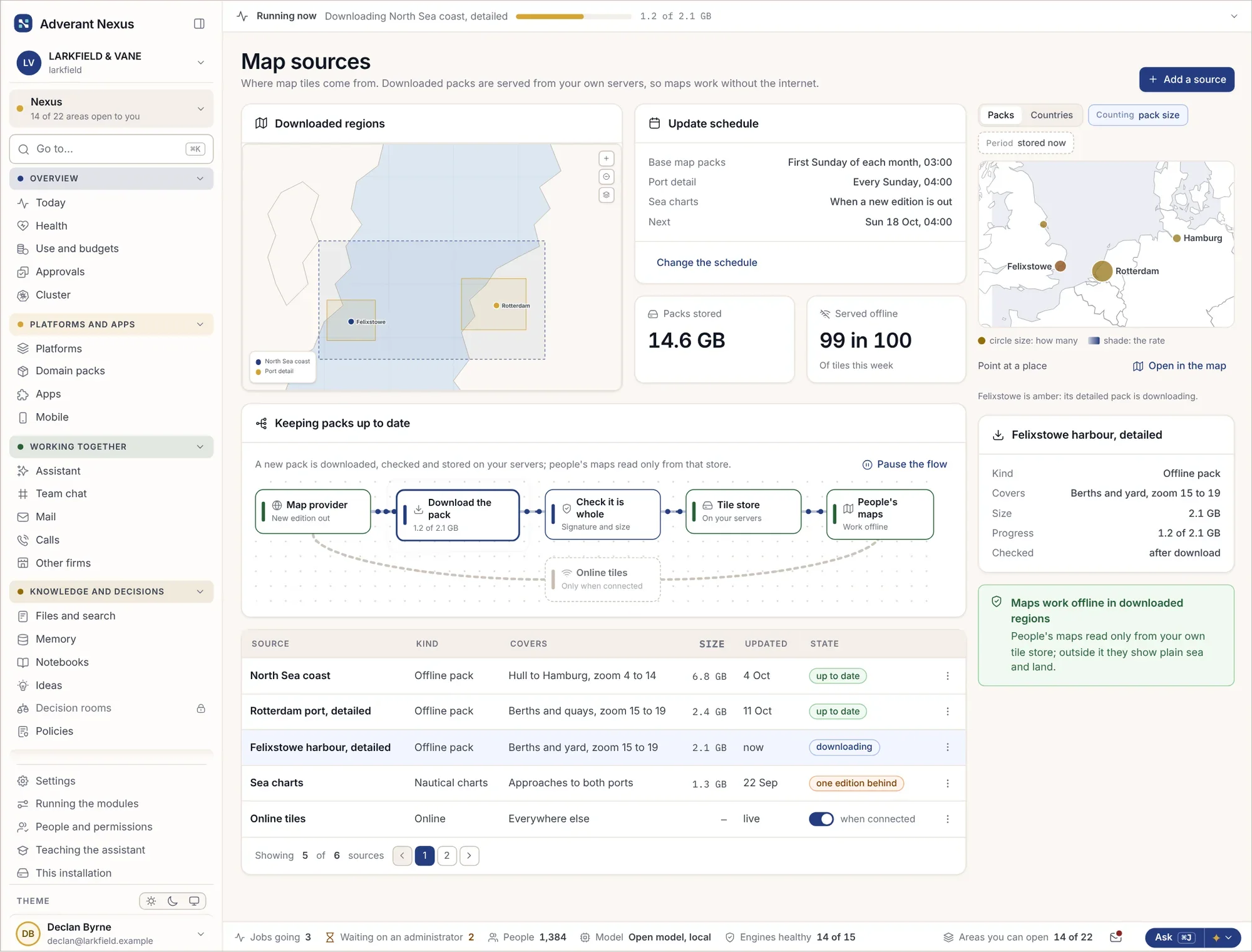
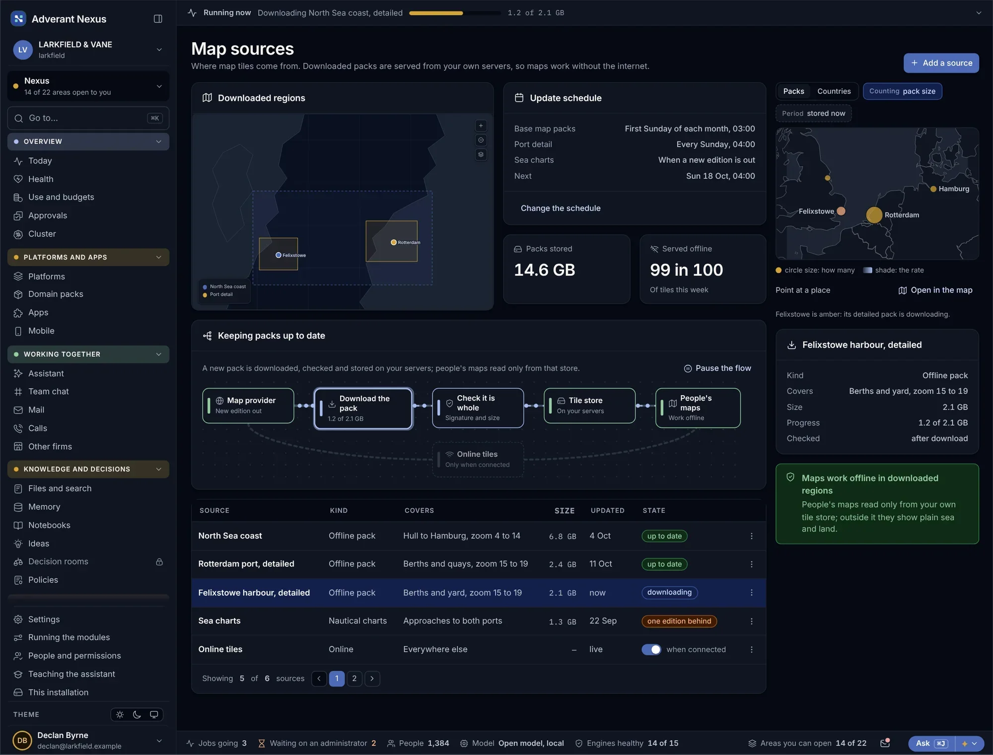
Map packs are kept on your own servers and updated on your schedule, with extra detail where you need it, such as a harbour or a site plan.
- Offline map packs
- Extra detail where it matters
- Updated when you choose
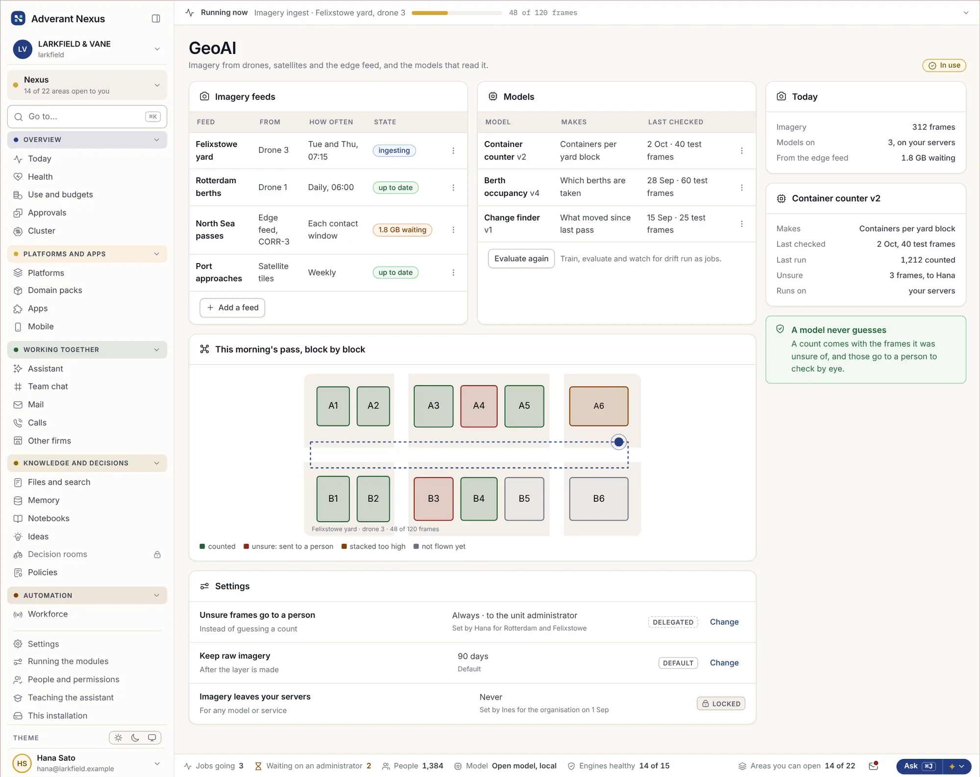
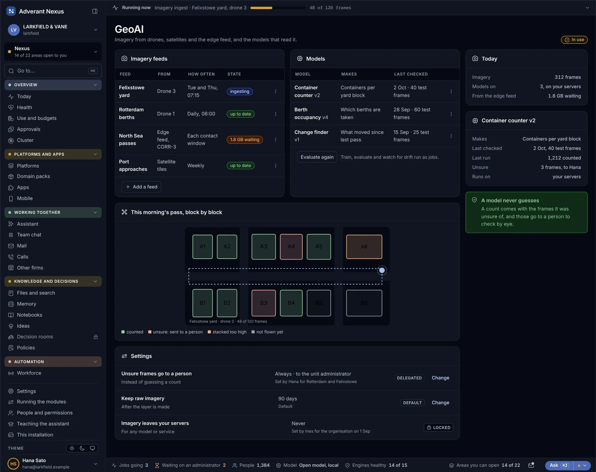
Imagery read by models you control.
Drone and satellite imagery comes in as layers, and models you choose read it for the things that matter to you: vessels, damage, stockpiles, change over time.
- Drone and satellite layers
- Models chosen and hosted by you
- Findings linked to the graph
About maps and GeoAI.
Do maps need an internet connection?
No. Map packs run on your own servers and work fully offline.
Can platforms add their own layers?
Yes. Each platform draws its own layers, and you decide which units see them.
Go deeper
Put your sites on one map.
Bring your sites and one imagery source. We will show them together, offline.